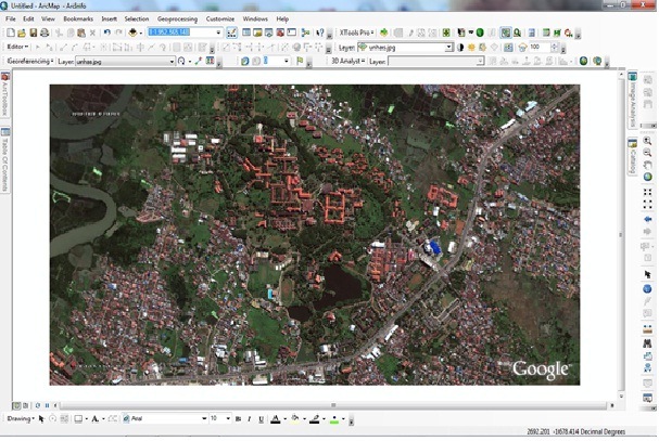
Image registration is the process of placing objects in the form of raster or image that does not have a reference coordinate system into a particular coordinate system and projection.
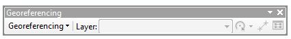
Generally, the georeferencing phases (using ArcMap) on the raster data include the following step:
A. Add the raster data which will placed on a particular coordinate system and projection.
B. Add control points on the raster data that were made as the tie point and the known value of the coordinates.
C. Save the information of georeference if the binding object to the georeference is considered correct.
You can create a fixed coordinate value for raster data after transformed (georeferencing process) by using the Update Georeferencing command and Rectify in Georeferencing toolbar. Coordinate system will be equal to the reference coordinates that used
follow this link for complete tutorial


Stephen
May 10, 2012
This helps especially as a new user of ArcGis 10.keep it up.